


Le Garcin- Deux Alpes

crocau
User


Length
2.7 km

Max alt
1133 m

Uphill gradient
155 m
Km-Effort
4.8 km

Min alt
962 m

Downhill gradient
164 m
Boucle
Yes
Creation date :
2023-12-03 13:54:37.848
Updated on :
2023-12-03 15:26:15.627
1h31
Difficulty : Easy

FREE GPS app for hiking
 SityTrail
IGN / Geographical institutes
SityTrail Plus
The world is yours!
About
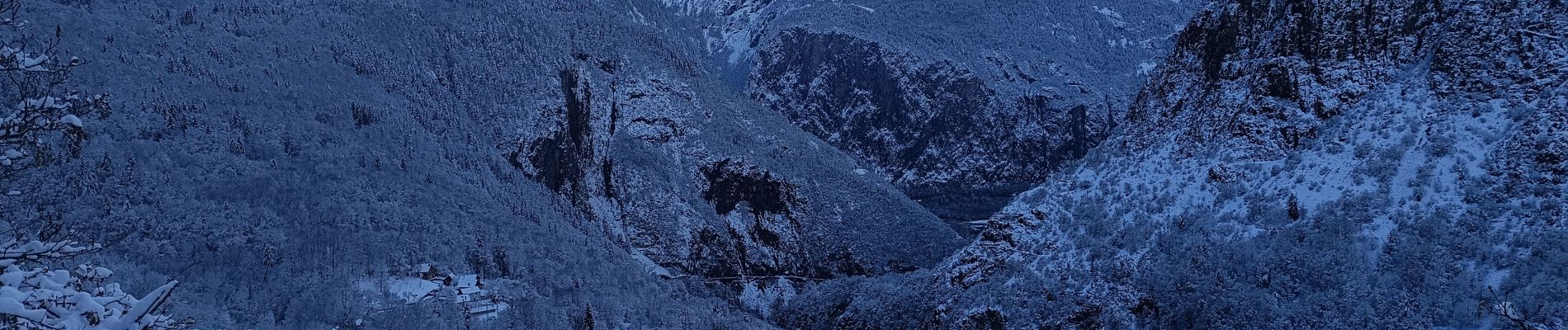
Trail Walking of 2.7 km to be discovered at Auvergne-Rhône-Alpes, Isère, Les Deux Alpes. This trail is proposed by crocau.
Photos


Positioning
Country:
France
Region :
Auvergne-Rhône-Alpes
Department/Province :
Isère
Municipality :
Les Deux Alpes
Location:
Mont-de-Lans
Start:(Dec)
Start:(UTM)
271122 ; 4991134 (32T) N.
Comments
Balade découverte du Garcin sur la commune des Deux Alpes